
A porch crosses a traced setback line, a bay window enters a recorded easement, and the preferred floor plan no longer fits. The homeowner must choose: revise the design, investigate formal relief, or risk paying for drawings that cannot support an approval.
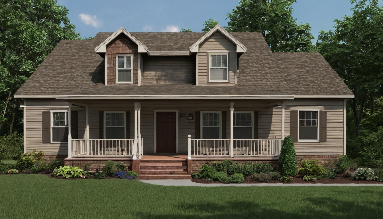
Residential Setback Lines and the Buildable Envelope Before Schematic Design shown as an editorial planning reference.
Hypothetical planning scenario: A homeowner has selected a residential plan but has not checked it against the parcel records. The designer’s first task is not arranging rooms. It is preparing a documented buildable-envelope study that leads to a go, revise, or seek-relief decision.
Key takeaways
- A buildable envelope starts with surveyed boundaries, not fences, tax maps, or the preferred footprint.
- Zoning setbacks, recorded easements, building lines, coverage limits, height rules, and code constraints need separate layers.
- A porch, eave, bay window, stair, or mechanical unit may follow rules different from the main wall.
- Fitting between setback lines does not prove compliance with coverage, floor-area, parking, access, or height limits.
- A variance is an entitlement risk to assess, not an allowance to assume.
Contents
- Defining the residential buildable envelope
- Establishing the legal lot
- Calculating front, side, and rear setbacks
- Reviewing projections across setback lines
- Testing coverage, floor area, height, and parking
- Making a go, revise, or seek-relief decision
What is a residential buildable envelope, and why must it precede schematic design?
A residential buildable envelope is the three-dimensional area where a detached one- or two-family house may potentially be approved after boundaries, setbacks, easements, coverage, height, access, and code constraints are overlaid. A preferred floor plan cannot establish where construction is permitted.
- Go: advance the program if preliminary massing fits within the verified horizontal and vertical limits.
- Revise: reduce or reposition any porch, bay window, garage, roof, or upper story that crosses a traced constraint.
- Seek relief: evaluate a variance or administrative modification as a separate entitlement path.
- Verify: do not treat the envelope as proof of permit approval, title quality, foundation feasibility, or development capacity.
The zoning envelope and the practical construction area are not the same
The practical construction area can be smaller than the zoning envelope once recorded easements, access, grading, utilities, stormwater measures, protected features, and fire-separation rules are considered. A dimensioned plan should show the horizontal overlays. A paired section should show grade, floor levels, allowable height, roof form, and the remaining vertical envelope.
Adopted code editions also matter. Virginia construction codes incorporate model codes with state amendments, so a Fairfax project must follow the Virginia-adopted code framework and applicable local administration rather than a model-code excerpt alone.
Once legal capacity is established, the designer can study site orientation for sun, wind, and privacy. First, the project team needs the documents that establish the legal lot.
Which documents establish the legal lot before an architect draws setback lines?
Reconstruct the legal lot from a current boundary survey, recorded plat and deed, applicable title material, and the official zoning map. These records must be reconciled because a fence, listing plan, occupation line, or tax map may not identify the boundary from which setbacks are measured.
A recorded plat, deed, and boundary survey answer different questions
| Document | Issuer | Contribution | Limitation |
|---|---|---|---|
| Deed | Land-records office | Legal description and referenced instruments | Does not verify field occupation |
| Recorded plat | Land-records office | Shown dimensions, bearings, monuments, and building lines | May omit later instruments or field changes |
| Current survey | Qualified land surveyor | Boundary opinion, recovered monuments, improvements, and scoped encroachments | Content depends on the commissioned survey type |
| Title material | Title company or attorney | Recorded exceptions and referenced easements | Complete instruments are needed for interpretation |
The survey commission should specify whether it covers boundary, topographic, improvement, or combined work. Required content may include monuments, structures, utilities, easements, encroachments, and elevations. Conflicting records or unlocated corners should remain identified until a qualified professional resolves them.
Recorded easements can restrict construction inside an otherwise buildable setback envelope
Each utility, drainage, access, conservation, or private easement needs its recorded instrument and exhibit, named holder, and provisions governing structures, grading, access, relocation, release, or consent. A title professional or land-use attorney should interpret uncertain private rights. Once the record set is reconciled, the designer can calculate the parcel’s actual yards.
How are front, side, and rear residential setbacks calculated for the actual parcel?
Measure residential setbacks from controlling lot lines under the jurisdiction’s yard definitions, not automatically from a curb, fence, pavement edge, or neighboring house. The result depends on the zoning district, lot type, street frontage, overlays, prior approvals, and ordinance text effective on the review date.
The constraint drawing should identify the applicable dimensional table and record its source, effective date, and amendment status. For a Fairfax County example, the researcher should use the Fairfax County Zoning Ordinance portal, note the access date, and check whether adopted or pending amendments affect the provision.
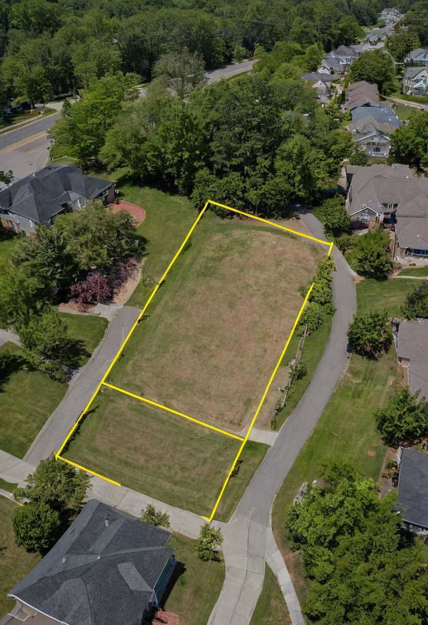
How are front, side, and rear residential setbacks calculated for the actual parcel shown with practical context cues.
Corner and irregular lots require a jurisdiction-specific front-yard determination
A hypothetical diagram might label street-facing boundaries A and B and interior boundaries C and D. Each boundary becomes front, side, or rear only after local definitions are applied. The drawing should then show each required yard measured from its controlling line, along with any overlay or sight-distance restriction.
Corner, through, flag, irregular, substandard, and legally nonconforming lots may receive special treatment. A second street frontage does not become a side yard merely because the preferred entrance faces elsewhere. Get written confirmation of ambiguous classifications before fixing the massing.
Recorded building lines and zoning setbacks must be overlaid rather than substituted
A recorded plat may show a building line inside the zoning envelope. Plot both constraints, cite the plat note, and treat the more restrictive verified line as controlling unless the jurisdiction or qualified legal counsel establishes otherwise. Once those lines are reconciled, individual projections can be reviewed.
Which residential projections may cross a setback line?
Eaves, gutters, chimneys, bay windows, porches, decks, balconies, stairs, ramps, window wells, areaways, retaining walls, and mechanical equipment may receive different treatment. None is automatically exempt. For each element, record its classification, permission status, dimensional limit, remaining yard, conditions, and approval path.
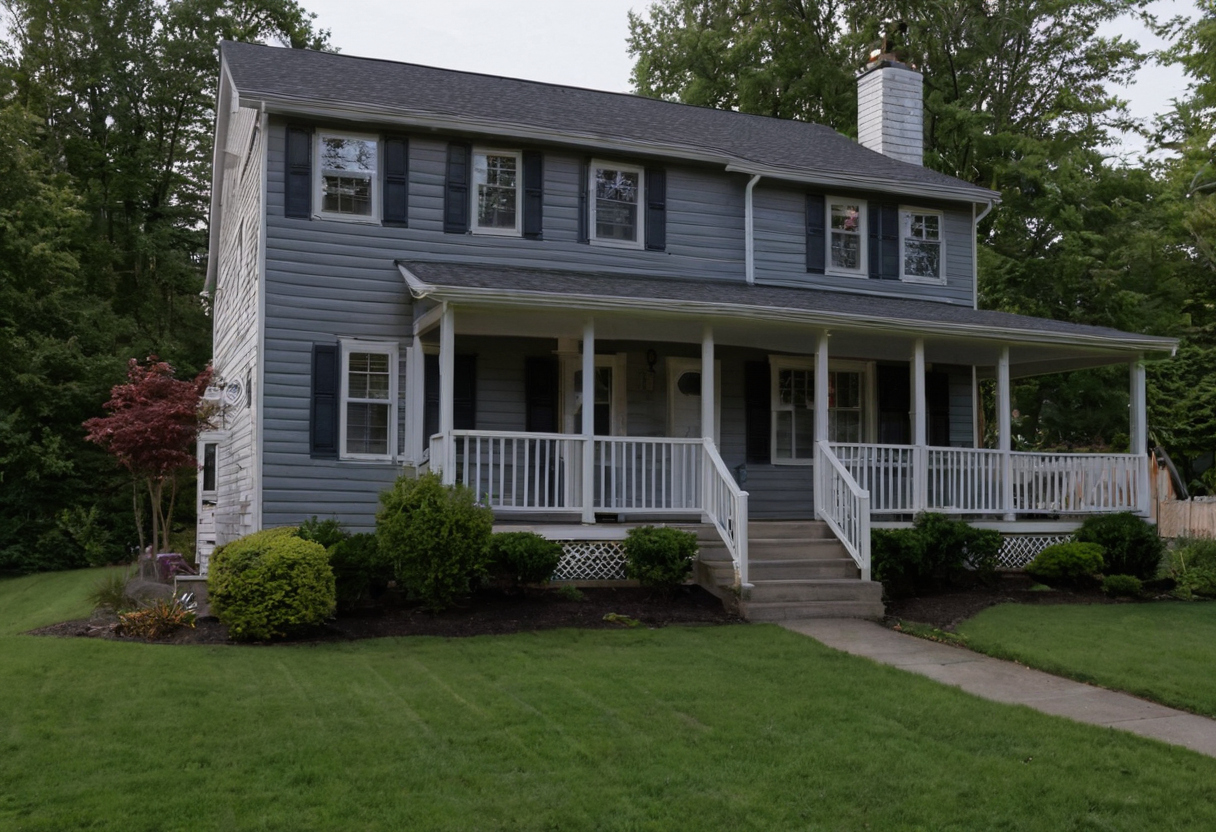
Which residential projections may cross a setback line shown as an editorial planning reference.
| Element group | Classification and status | Limit and remaining yard | Conditions | Approval path |
|---|---|---|---|---|
| Eaves, gutters, chimneys | Verify projection classification and permission | Record maximum projection and resulting separation | Height, drainage, construction, and fire separation | Zoning and building review; title review where applicable |
| Bay windows and balconies | Verify whether enclosed, supported, or open | Record width, depth, area, and remaining yard | Openings, support, fire separation, and coverage | Zoning and building review |
| Covered and uncovered porches, decks | Classify each roofed, unroofed, enclosed, or open component | Record projection, area, and remaining yard | Coverage, guards, foundations, stairs, and easements | Zoning, building, and title review |
| Stairs, ramps, window wells, areaways | Verify access or egress classification | Record projection and clear yard | Landings, guards, drainage, accessibility, and egress | Zoning and building review |
| Air-conditioning equipment and generators | Verify equipment permission | Record equipment setback and service clearance | Noise, utilities, access, ventilation, and easements | Zoning, building, utility, and title review |
| Retaining walls | Classify by location, height, and function | Record offset and affected yard | Drainage, grading, guards, utilities, and easements | Zoning, building, civil, and title review |
A zoning encroachment allowance does not override building-code fire separation
Zoning permission determines where an element may extend. Building-code review separately addresses exterior walls, openings, and projections near a lot line. The reviewer should check the locally adopted residential code, amendments, applicable Section R302.1 text and tables, and the local measurement method for fire-separation distance.
Mechanical equipment needs its own setback, access, and nuisance check
Air-conditioning units, heat pumps, and generators need separate checks for equipment setbacks, noise limits, manufacturer service clearances, utility access, and required emergency access. Zoning approval does not create a private right to occupy an easement. Even compliant projections cannot cure a project that exceeds coverage, floor-area, height, parking, or access limits.
Lot coverage, floor-area limits, height, and parking can shrink the architectural design without moving a setback
A house can fit between setback lines and still fail lot-coverage, impervious-surface, floor-area, height, open-space, parking, or access tests. Follow the local definition for each metric because garages, porches, decks, basements, overhangs, accessory structures, and driveways may be counted differently.
Every coverage calculation needs a jurisdiction-specific inclusion schedule
| Test | Formula sequence | Items requiring classification |
|---|---|---|
| Building coverage | Parcel area × applicable rate; limit minus counted footprints | House, garage, porch, deck, pool, overhang, accessory building |
| Impervious coverage | Parcel area × applicable rate; limit minus counted surfaces | Driveway, paving, pool deck, structures, and other hard surfaces |
| Floor area | Parcel area × permitted ratio; limit minus defined floor areas | Garage, basement, attic, porch, and accessory space |
Parking review should also verify the required count, stall size, access width, turning path, and garage placement. An official worksheet or written interpretation should resolve unclear classifications.
The vertical buildable envelope depends on the local height measurement method
Height cannot be tested until the ordinance identifies the grade reference, base elevation, roof measurement point, and treatment of rooftop projections. Sloped sites may require surveyed existing and proposed grades tied to an accepted datum. The project is then ready for a documented pre-design decision.
What pre-design workflow tests a floor plan against the buildable envelope and variance risk?
A defensible workflow verifies parcel records, draws constraints on separate layers, records the authority and date for every line, and tests simple massing before detailed rooms. A failed test leads to revision, investigation of administrative relief, or a documented variance assessment.

What pre-design workflow tests a floor plan against the buildable envelope and variance risk shown with practical context cues.
- Confirm the parcel, zoning district, overlays, and governing ordinance.
- Commission the required survey. In Virginia, 18VAC10-20-370 establishes land-boundary survey standards; topographic, improvement, or construction scope may require additional work.
- Draw separate layers for boundaries, setbacks, easements, coverage, access, utilities, environmental constraints, and fire-separation limits.
- Create a source register naming the authority, document, section, effective date, reviewer, and unresolved question.
- Test footprint, height, parking, access, grading, and construction space.
- Issue a documented go, revise, or seek-relief decision.
The first massing test should use verified limits rather than room-level detail
The homeowner supplies the minimum program. The architect or residential designer tests simple footprint and height options, allowing for wall thickness, drainage, grading, and construction access. Once the mass fits, test stair geometry before fixing the floor plan and coordinate architecture and interior design from concept onward.
A residential variance is a risk assessment, not a design assumption
Variance assessment requires current criteria, forms, notice procedures, fees, schedules, and qualified local advice. In Fairfax County, the Board of Zoning Appeals is associated with variance requests and certain zoning appeals. Applicants must use the current filing requirements and hearing information. A preferred plan does not establish entitlement to relief.
Questions for house designers near the project should test local entitlement competence
Ask who researches zoning, coordinates surveys, prepares constraint drawings, records assumptions, and evaluates comparable relief. Surveyors establish boundaries, civil engineers address site systems, title professionals examine recorded interests, and land-use attorneys interpret legal rights. The homeowner’s practical change is simple: commission the parcel constraint study before purchasing or customizing the floor plan.
Frequently asked questions
Can a bay window, roof eave, porch, or stair project across a residential setback line?
Possibly, but only if the local ordinance permits that specific classification and the proposal also satisfies building-code, easement, coverage, and dimensional requirements.